Daily activity:
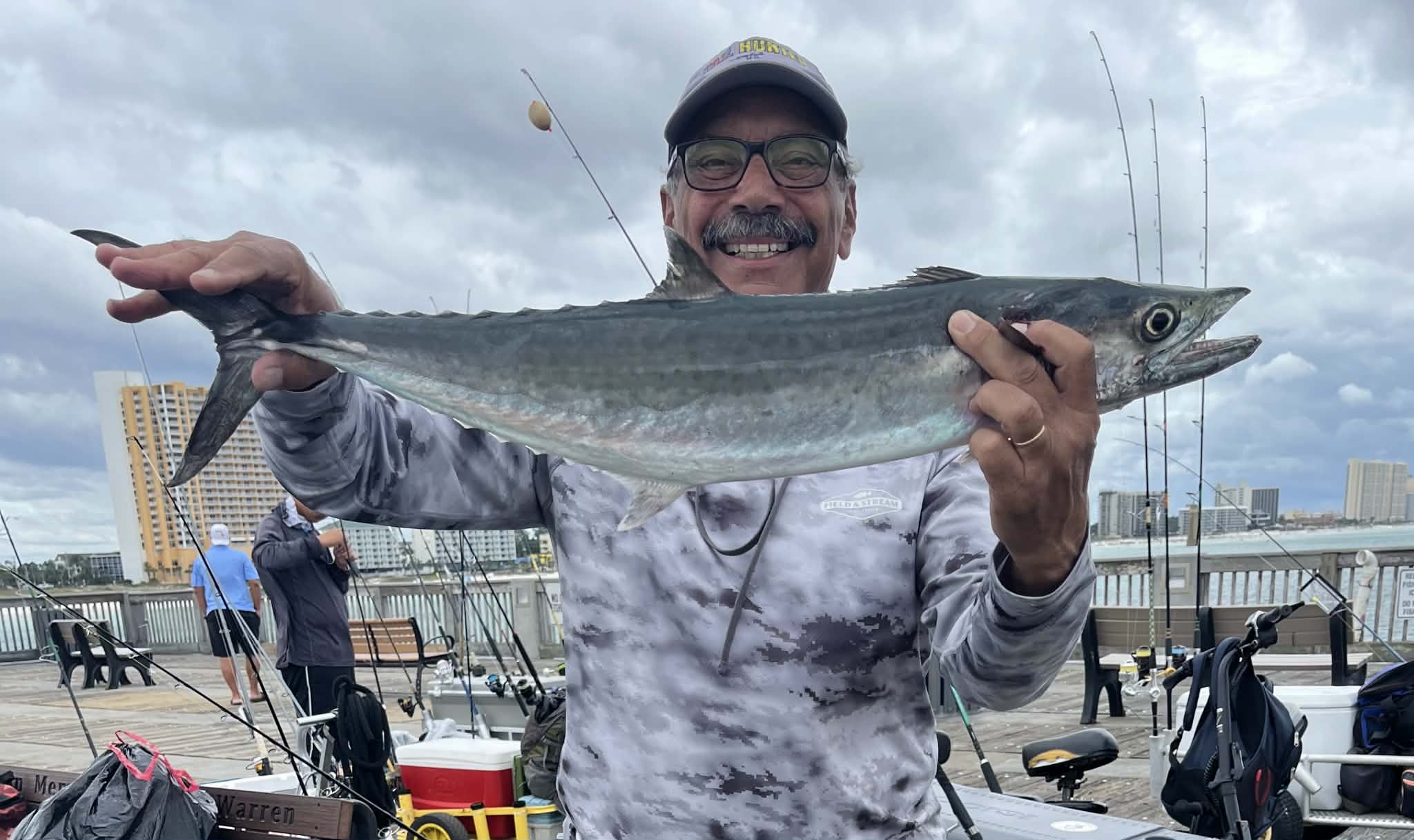
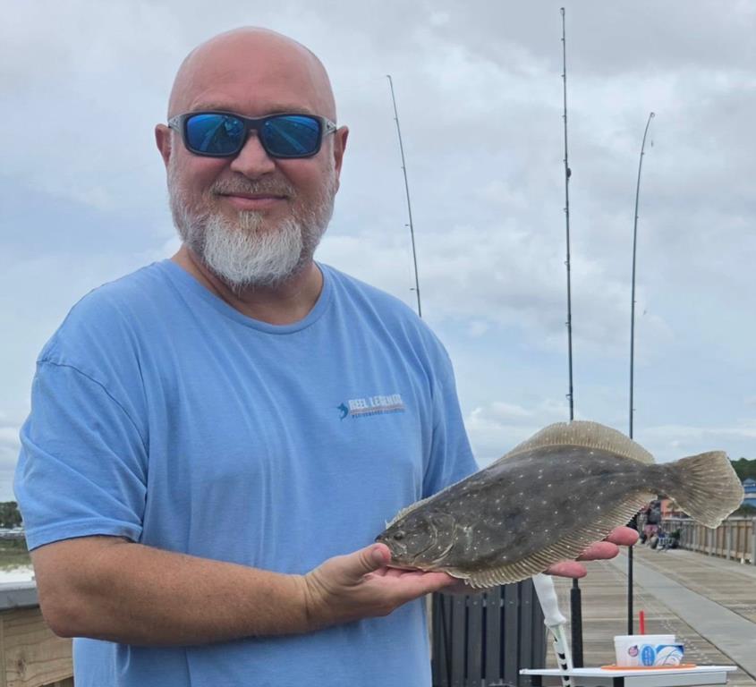
Thursday 08th. water temp 81.7 ENE 9-12mph in the a.m. / 82.8 NE 5-9mph. The water was clean. The approaching storm turned on the King Mackerel bite. Several nice fish were caught. Brenda, George and Nory were among the anglers who put Kings on the deck. A Sailfish was hooked as well. Chuck O was busy in skinny water and caught a small Pompano and a Flounder.
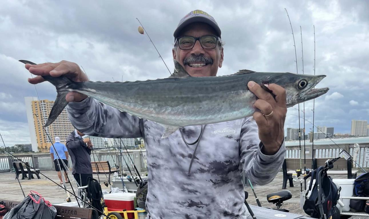
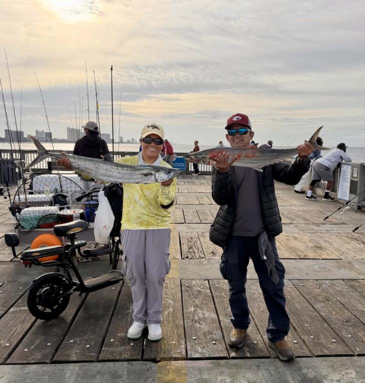
Friday: water temp 80.8 ENE 10-14mph in the early a.m.; by noon ENE 15-25mph; 3:45p.m. ENE 25-35mph; 5:00p.m. ESE 32-47mph; 6:45p.m. 38-51mph; 8:00p.m. ESE 52-74mph; 8:30p.m. SE 72-83mph; Midnight S 40-45mph. The pier closed at 7:00a.m. due to Hurricane Isaias. However, the early bird anglers managed to get in a short window before the closure. A few Spanish Mackerel, two King Mackerel and a few Bonitas were decked, all on lures. Here’s a link to the waves crashing into the pier:
Saturday: NEW MOON, water temp 78.3 WSW 16-22mph in the a.m. / 78.3 W 12-16mph in the p.m. Pier repairs in full swing. Thanks to Bay County Rec. Dept. employees who put in a long day recovering and replacing the 57 floor panels that were even scattered in various locations on the beach.
Sunday: water temp 78.3 N 2-4mph in the a.m. / 79.5 W 15-18mph in the p.m. The water was nasty. Crews continued their repairs to the pier deck and had contractors to begin replacing the missing rails at the end Tee. The pier was open from daylight until sunset but only out to the first Tee.
Monday: water temp 79.9 NNW 5-9mph in the a.m. / 80.8 NNE 5-8mph in the p.m. The water was dirty. The pier was partially open from daylight until sunset.
Tuesday: water temp 80.1 NNE 5-6 in the a.m. / 81.0 W 8- 10mph in the p.m. The water was beginning to settle and clean. The replacement of the rails at the end Tee is progressing well. The east side and front rails are almost complete. They still have the rail caps and all of the west side rail to replace. Over tee past couple of days there has been a couple of Red and Black Drum, Pompano and small Spanish Mackerel caught. The majority of catches have been Remora and small Sharks.
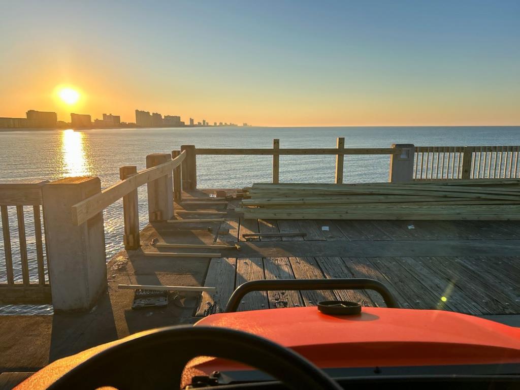
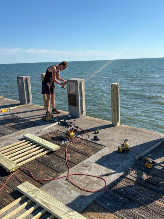
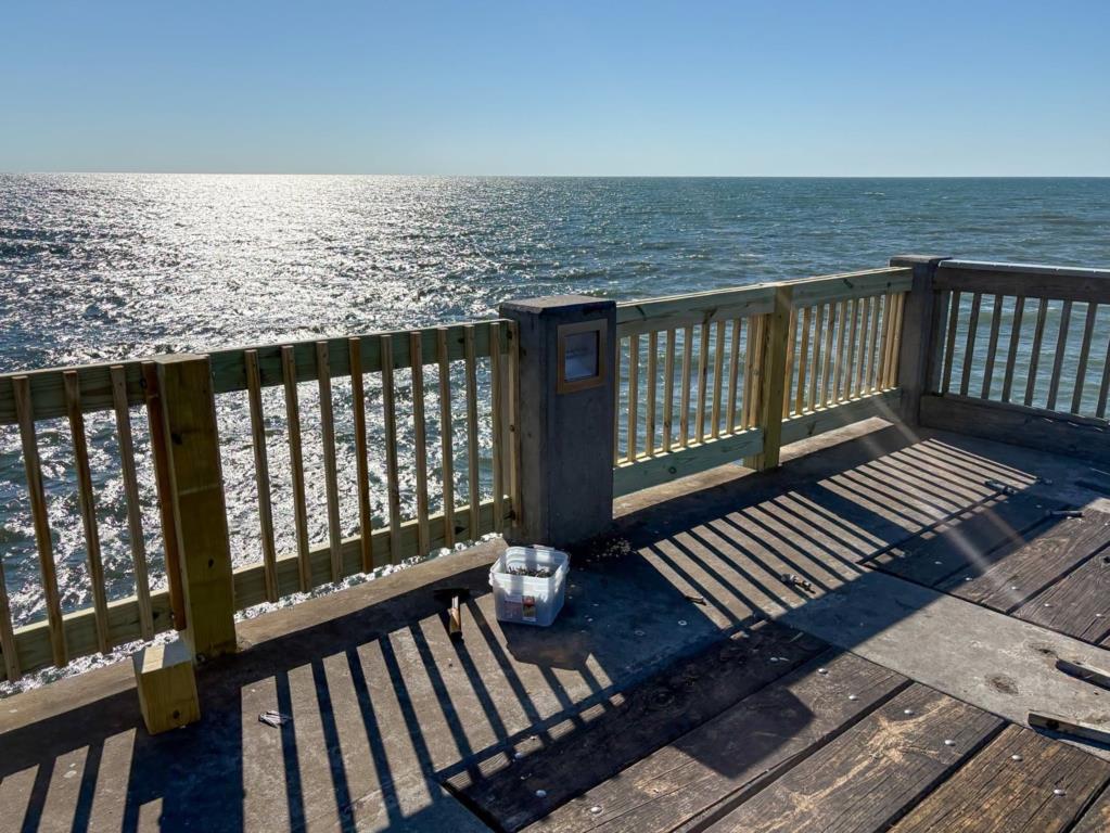
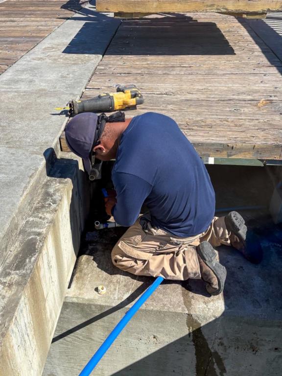
Wednesday 14th. water temp 80.4 NE 7-10mph in the a.m./ 81.5 WSW 7-9mph in the p.m. The water was still a little stained.
Pictures for the bulletin board: Kim with Coastal Tackle has created an e-mail for anglers to submit pictures of their pier catches. She will then print them and display them on the bulletin board at the entrance to the pier. You can submit your favorite picture here: pierfishingpics2kim@gmail.com
Red Tide status: In Northwest Florida over the past week, K. brevis was observed at background concentrations offshore of Bay County and in Gulf County.
Tides for the upcoming week:
Full Moon Sunday Oct. 25, 3036 - New Moon Monday Noc. 09, 2026
Sunrise: 6:44am Sunset: 6:11pm
Friday 12:41pm Low 0.3 12:34am High 1.9
Saturday 1:40pm Low 0.3 1:25am High 1.8
Sunday 2:27pm Low 0.3 2:18am High 1.8
Monday 2:57pm Low 0.4 3:14am High 1.7
Tuesday 3:11pm Low 0.5 4:20am High 1.5
Wednesday 21st. 3:15pm Low 0.6 6:08am High 1.4 – 10:07pm High 1.1
Sunrise: 6:48am Sunset: 6:05pm CST
The Marine forecast for the next several days is:
FRIDAY
Northeast winds 5 to 10 knots. Waves 1 foot or less. Wave Detail: Southeast 1 foot at 5 seconds. Protected waters a light chop. A slight chance of showers in the morning, then a chance of showers in the afternoon.
FRIDAY NIGHT
West winds 5 to 10 knots, becoming northwest 25 to 30 knots after midnight. Waves 1 foot or less, then 2 to 4 feet after midnight. Wave Detail: Southeast 1 foot at 5 seconds, becoming northwest 3 feet at 3 seconds and southeast 1 foot at 5 seconds. Protected waters very rough. A slight chance of showers.
SATURDAY
North winds 25 to 30 knots. Seas 5 to 7 feet, occasionally to 9 feet. Wave Detail: North 6 feet at 5 seconds. Protected waters very rough. A slight chance of showers in the morning.
SATURDAY NIGHT
Northeast winds 25 to 30 knots. Seas 5 to 8 feet, occasionally to 10 feet. Protected waters very rough.
SUNDAY
Northeast winds 25 to 30 knots. Seas 6 to 9 feet, occasionally to 11 feet. Protected waters very rough.
SUNDAY NIGHT
Northeast winds 25 to 30 knots. Seas 6 to 9 feet, occasionally to 11 feet. Protected waters very rough. A slight chance of showers in the evening.
MONDAY
Northeast winds 25 to 30 knots. Seas 6 to 9 feet, occasionally to 11 feet. Protected waters very rough. A slight chance of showers in the afternoon.
MONDAY NIGHT
Northeast winds 25 to 30 knots. Seas 5 to 7 feet, occasionally to 9 feet. Protected waters very rough. A slight chance of showers.
(local forecast).
FRIDAY (83/59 rain 20% wind WNW 06mph
SATURDAY (72/57 rain 05% wind NNE 19mph
SUNDAY (73/59 rain 01% wind NE 17mph
MONDAY (77/61 rain 02% wind NE 14mph
TUESDAY (79/60 rain 05% wind NE 12mph
WEDNESDAY(80/62 rain 05% wind NE 10mph
PIER MANAGEMENT CONTACT INFORMATION:
Bay County Parks and Recreation – 5304 Majetti Tower Road Panama City, FL 32404
850-248-8730
Vince Martin – Bay Co. Parks Division Manager - vmartin@baycountyfl.gov - 850-896-6580
Timothy Pentice- Bay Co. Asst. Div. Mgr. – tprentice@baycountyfl.gov – 448-217-4219
Tight lines and screaming drags,
Sam
SLP053@BELLSOUTH.NET
770-265-2879